AMP Toolbox
Gather information and determine existing conditions
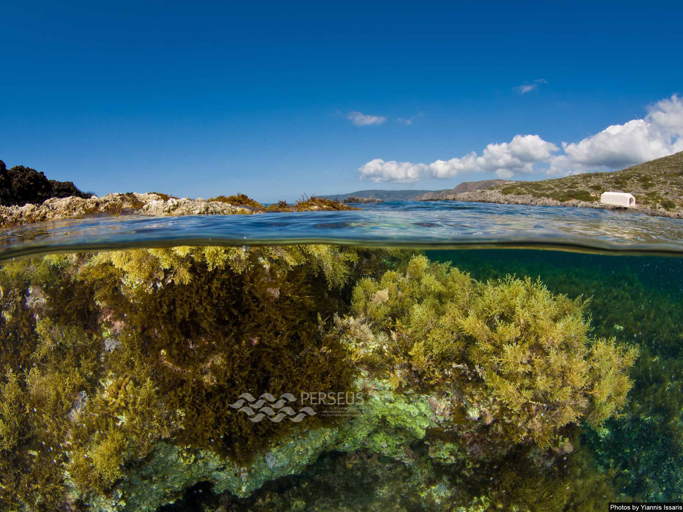
Introduction
This activity comprises gathering and determining the current situation, taking into account spatial considerations (i.e. what areas are affected and how they overlap with other administrative or statistical boundaries) and temporal aspects (i.e. identifying the trends helps to understanding the links among different factors). This corresponds to the Initial assessment of the Marine Strategy Framework Directive (MSFD) and could be translated into other environmental policies as well. This activity includes the analysis of the pressures and impacts that human activities produce, assessment of the environmental status of the marine ecosystems (including biological, physical and chemical features as well as different types of habitats) and a socio-economic analysis of those ecosystems. Finally, an analysis of the different sectorial and environmental legislation at European or international levels that has led to the establishment of measures protecting the marine environment should be performed. The purpose of this analysis is to identify the current reasons for not achieving the environmental objective (e.g. to achieve or maintain GES), which will help to identify where new measures might be needed for the subsequent steps. Additionally, once this activity has been completed it is important to identify gaps in the knowledge (e.g. insufficient data and/or knowledge, lack of operational and/or harmonised methodologies, etc.).
Key questions
• What is the current situation?
• Which are the knowledge gaps in determining this current situation?
Key actions:
• Overview of the current situation of the environment and associated issues
• Identification of geographic scope
• Identification of the links and connections among factors
• Identification of the gaps and uncertainties in the knowledge
See: PERSEUS Fact Sheet Series: “Mediterranean and Black Seas: Good Environmental Status?”
Tools (highlighted tools are linked with more detailed tool descriptions)
- Analytic Hierarchy Process in ArcGIS
- Benthic Terrain Modeller
- DPSWR framework
- EcoPath
- Fisheries Library in R
- Habitat Priority Planner
- InVEST Toolbox
- LINK
- MarineMap
- MARXAN
- PANDA
- Quantitative stock assessment methods
- Asset / Objective – Impact / Threat Matrix
- Conceptual and Qualitative Modelling
Resources dedicated to the Mediterranean and Black Sea marine environment
• Pressures and impacts on
Coastal areas
Open sea
• Pressures in socio-economic terms on
Coastal areas
In pilot cases
Open sea
In pilot cases
• Environmental Status Assessment
Compilation of environmental status assessments
Gaps on the assessment elements
Knowledge base
- Database Legal Inventory
- Database Institutional Inventory
- Database Inventory of Ecosystem Based Assessment studies
- Database Inventory of Research Projects